Planning, Zoning, and Development Portfolio
Scroll to View All Projects
Lansing Economic Area Partnership Future Land Use Study
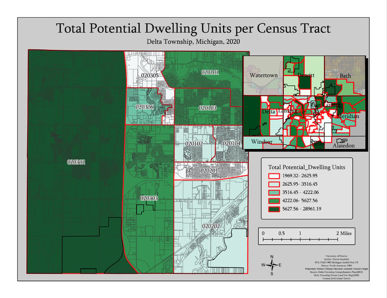

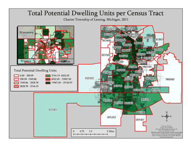
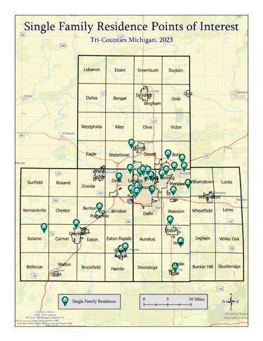
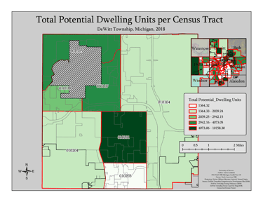

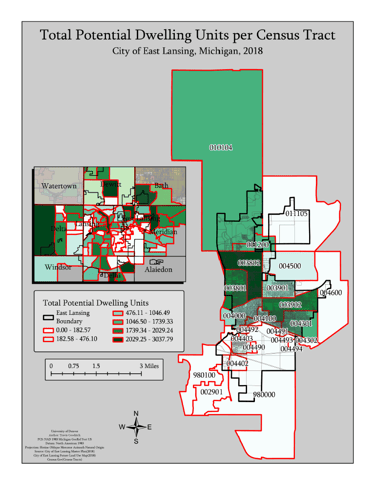
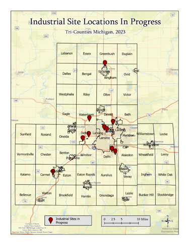
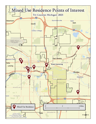
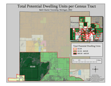
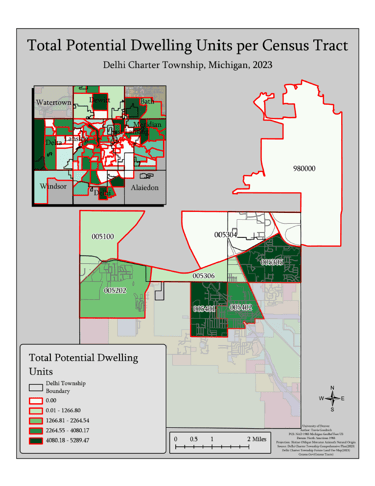
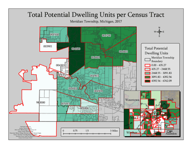
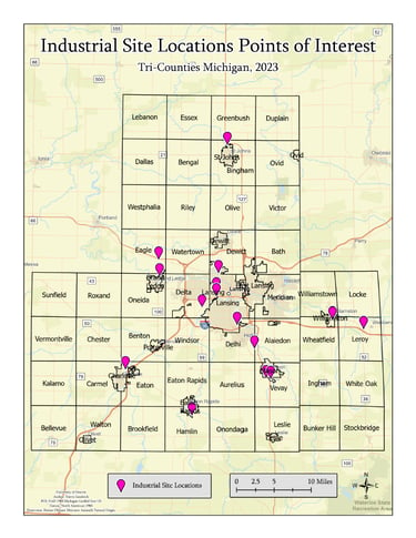


Over a 2 month period I had the privilege of collaborating with Brent Forsberg at the Lansing Economic Area Partnership to develop "Land Growth Potential" maps based on future land use zoning density provided by 36 townships. This project covered the Tri-Counties of southern Michigan—Clinton, Eaton, and Ingham, encompassing a total of 61 townships. Through extensive communication, I managed to secure future land use zoning maps for 36 of these townships. Unfortunately, the remaining 25 townships did not have future land use zoning maps available, hindering the mapping of their future land use projections.
This study has significantly enhanced my proficiency in analyzing land use and interpreting zoning and building codes, crucial skills in urban development and management. My extensive engagement with city officials has not only deepened my understanding but also strengthened my capability to execute detailed project assessments and planning.
These experiences have refined my skills in meticulous detail orientation, proficient GIS application, and clear communication—qualities that are vital in any analytical or planning-focused role. My collaborative approach, coupled with a commitment to ethical standards and communication excellence, ensures that I am well-prepared to contribute effectively within any professional setting that values strategic development and thoughtful implementation of policies.
This project has equipped me with the tools necessary to provide valuable insights and solutions in environments that require both technical understanding and practical application, making me a versatile professional ready to tackle various challenges in the dynamic field of development and planning.
NAHB/IBS Student Competition







NAHB Student Competition Experience
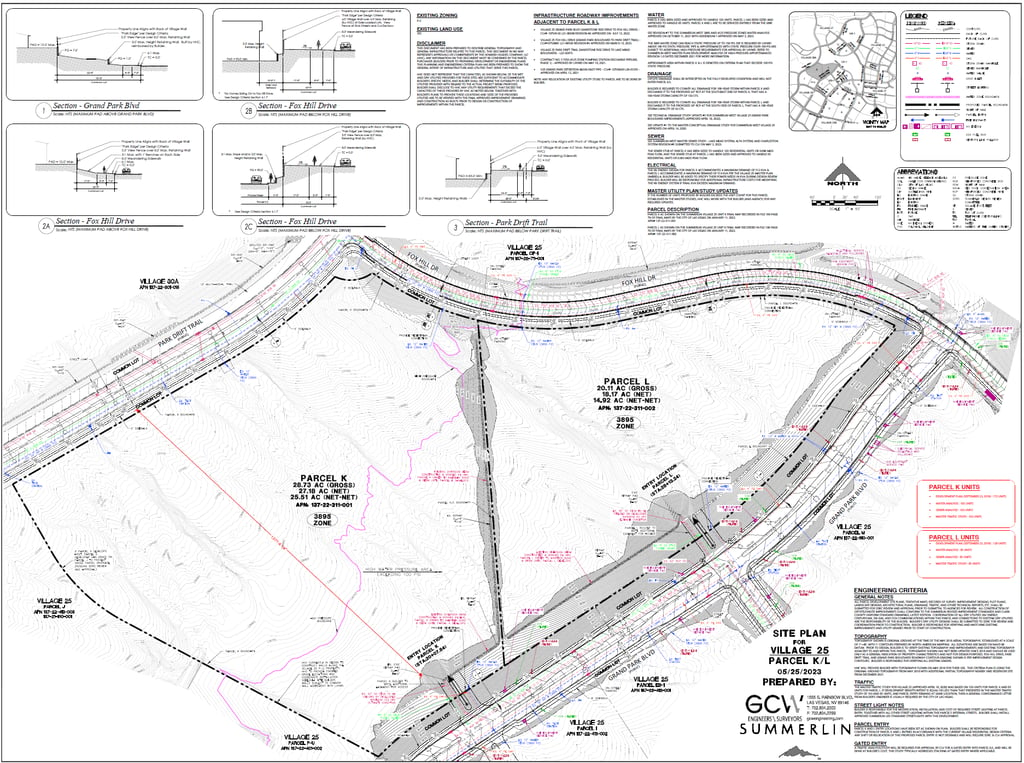
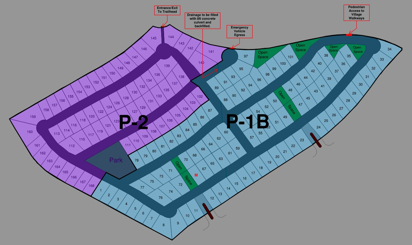
During my fourth year at the University of Denver, I seized the invaluable opportunity to participate in the annual NAHB Student Competition, presented at the International Builders Show. This experience allowed me to apply and refine the construction project management and GIS skills acquired throughout my academic coursework. The challenge involved developing a comprehensive master plan for a 48-acre property in West Summerlin, near Las Vegas, Nevada, aimed at establishing a community of 168 single-family homes.
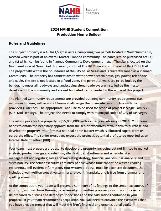

2024 Competition Prompt
Project Execution and Skills Applied
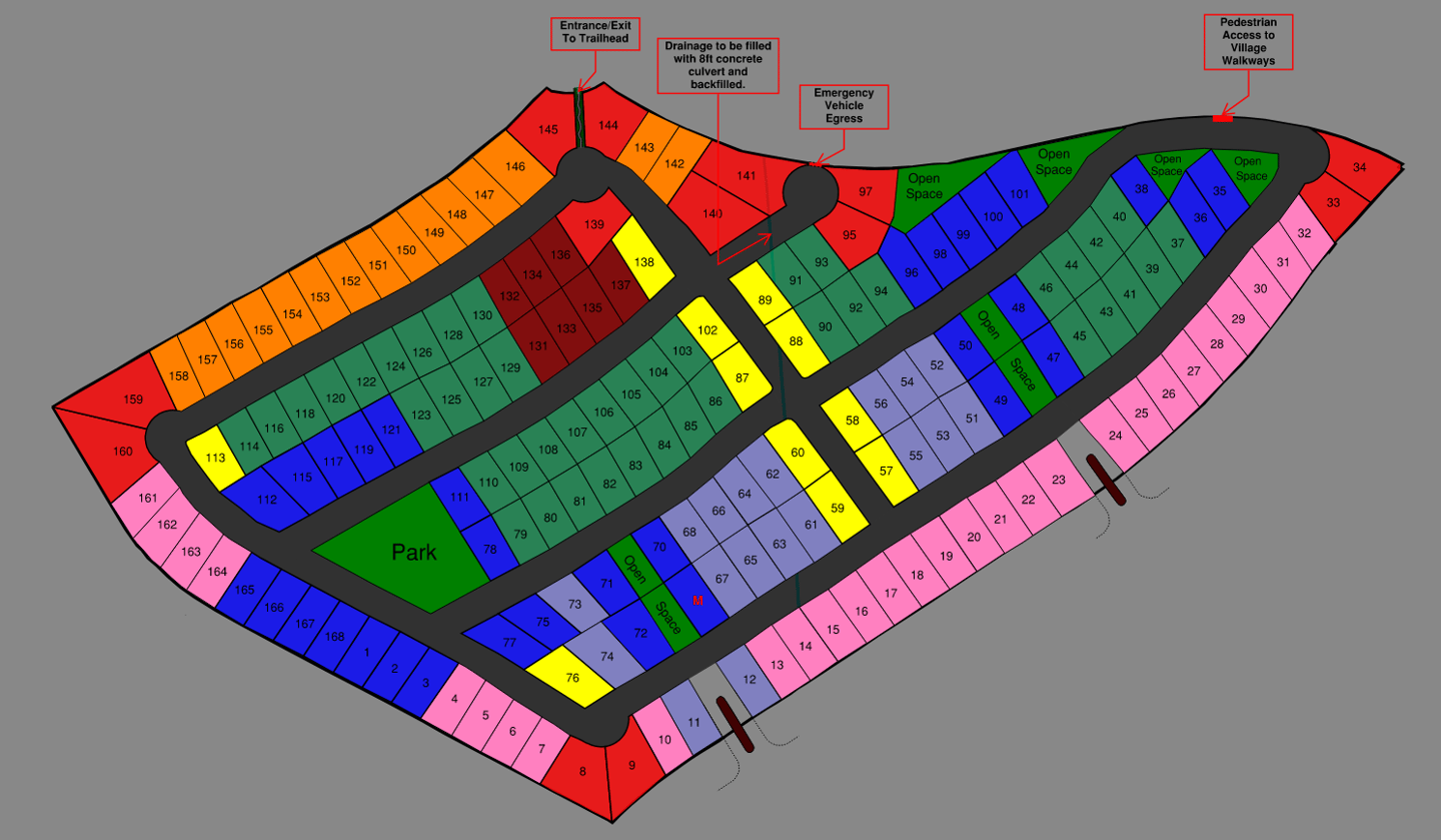
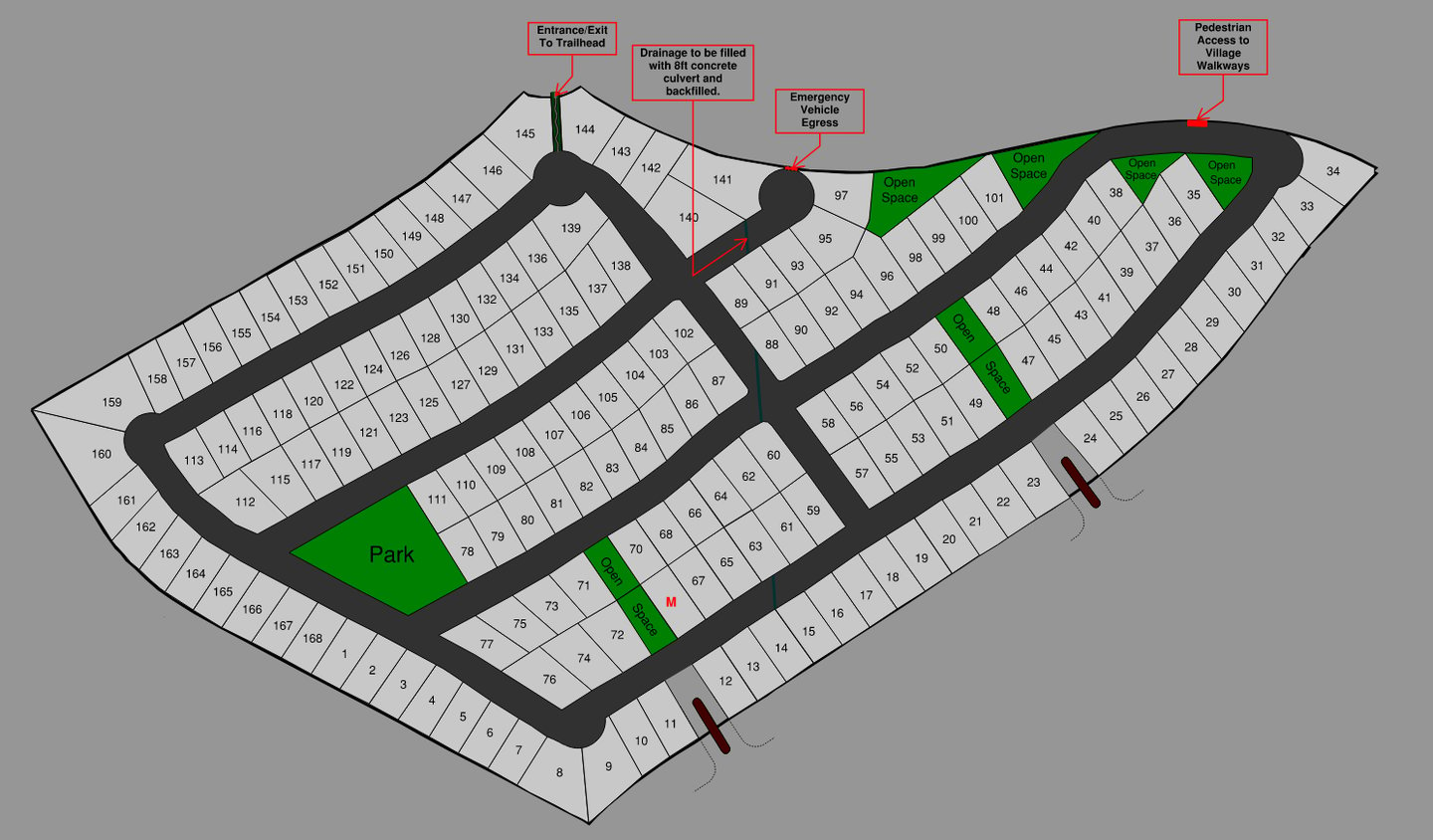
As the lead on site design, I employed Bluebeam to meticulously design lot layouts, sidewalks, street planning, emergency egress, and walking paths. Each element was strategically integrated to optimize community flow and safety, ensuring compliance with zoning regulations and building codes. This role demanded a thorough understanding of planned community requirements—such as minimum lot sizes and setbacks—while also fostering sustainability and community welfare, critical aspects of modern urban development.
The engagement with various stakeholders, including potential investors and city officials, enhanced my ability to communicate complex planning concepts effectively, bridging technical and non-technical divides. This experience sharpened my skills in producing detailed site plans and development proposals, essential for clearly conveying planning initiatives.
The practical experience gained through this project was profound. It underscored the importance of precision in financial and zoning analyses and reinforced my capability to manage and execute large-scale projects under significant scrutiny. The project not only tested my technical and analytical skills, but also challenged me to present complex ideas clearly and persuasively to a panel of industry experts.
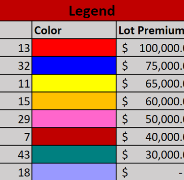
Below are images of the final site design I developed, illustrating the application of my site planning skills and as well as my commitment to ethical and detail-oriented project execution. This project was a cornerstone in my education, equipping me with the necessary tools to contribute effectively to future urban development initiatives.
Conclusion and Takeaways
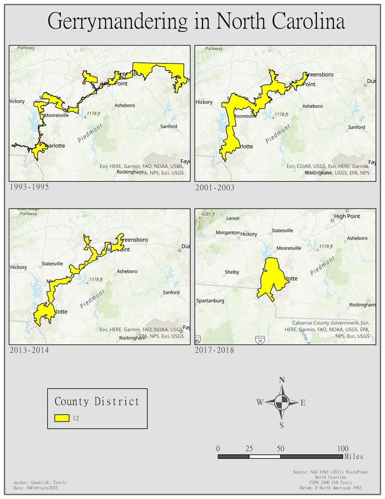
Gerrymandering Over Time in North Carolina's 12th District
This series of maps illustrates the changes in the boundaries of North Carolina's 12th Congressional District over four distinct time periods from 1993 to 2018. Each map captures the district's evolution, highlighting significant alterations in its shape and area. The yellow color represents the district's coverage across different years, showcasing how the boundaries have been redrawn to include or exclude certain areas. This visualization provides a clear example of gerrymandering, where district lines are manipulated for electoral advantages, reflecting shifts in political and demographic factors over 25 years.
